
Visualizing Project Information at Any Stage – Anytime, Anywhere
At Happy Cow Designs, we leverage Geographic Information Systems (GIS) to transform complex layers of spatial data into dynamic visualizations. These visualizations can be viewed on maps, models, detailed reports, and web-based applications, all tied to precise geographic locations. With our GIS services, you can visualize project information at any stage of development on any device.
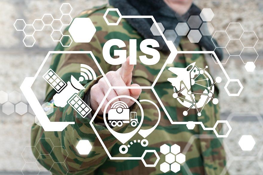
GIS Technologies and Services
Data Collection and Management
Our GIS teams excel at collecting, assimilating, and displaying project details in real-time using mobile apps. This capability allows us to visualize floodplains, slopes, utility locations, and ultimate lines of sight based on survey records and data. By employing customized data collection applications, we efficiently capture assets and observations across a wide range of categories, including historic, environmental, and municipal mandates.
Interactive Project Dashboards
Happy Cow Designs helps clients collect, manage, and display critical project details before, during, and after the development of a project. Through our websites and mobile apps, clients can access essential project information—such as utility locations or project metrics like budget spent, ROE tracking, or other important indicators—in real-time, customized to their needs.
3D Modeling and Analysis
We craft detailed 3D models to virtually represent the final development of a project. By analyzing survey data from slopes and grades of a site, we can visualize placement, effect, and location long before construction begins. This proactive analysis helps in making informed decisions early in the project lifecycle.
Virtual Reality
At Happy Cow Designs, we create highly detailed 3D images of late-phase project developments. These immersive visualizations allow clients to better understand and visualize project completion months or even years before construction starts, ensuring a clear and shared vision for all stakeholders.
Conclusion
Happy Cow Designs’ GIS services offer a comprehensive suite of tools to visualize and manage your project from inception to completion. By transforming complex spatial data into accessible and actionable visualizations, we empower our clients to make informed decisions and achieve their project goals efficiently. Whether you need real-time data collection, interactive dashboards, 3D modeling, or virtual reality visualizations, Happy Cow Designs has the expertise to bring your project to life.
Explore more: